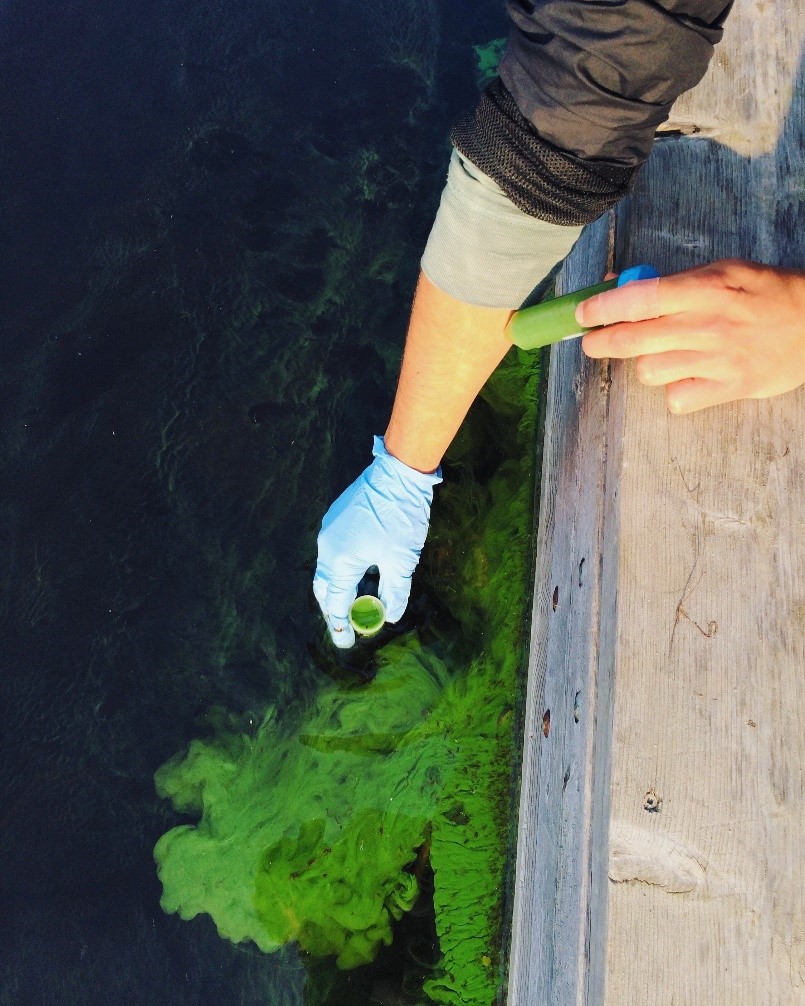
Lake Winnipeg —one of North America’s Great Lakes — recently has been labeled one of the most threatened lakes in the world because of increased phytoplankton productivity. Many stressors are triggering these alterations in phytoplankton productivity, including climate change. But to separate climate change from natural variability is challenging and requires a large data set with more than three decades of continuous phytoplankton data.
In this study, researchers will use Landsat data, the only satellite sensor that can provide a 30-plus years of phytoplankton biomass data. This joint NASA/USGS program provides the longest continuous space-based record of Earth’s land—a unique resource for tracking global change research.
Researchers will retrieve chlorophyll-a (Chl-a) concentration, an indicator of phytoplankton biomass, from Landsat data using to create the longest Chl-a record for Lake Winnipeg. This Chl-a record will allow researchers to explore global changes that are contributing to increased frequency, magnitude and duration of phytoplankton blooms. The research team is collaborating with relevant organizations in Manitoba, such as Lake Winnipeg Research Consortium, to use this information to help develop effective lake management strategies that can predict – and ultimately reduce the risk – of phytoplankton blooms.
For more information, please contact Dr. Irena Creed ([email protected])